


The Downtown Haifa area covers 1.85 sq. km. which constitutes 2.9% of Haifa’s area with 12,120 residents, most from a relatively low socio-economic level.
The Lower Town area contains many historical sites including the old city which was surrounded by a wall and built by Dahar El Omar in the 18th century. This is the area where the government offices are located in a compound called Kiryat Hamemshala (Rabin Government Center), as well as the German Colony built by the Templers in the late 19th century. This area started thriving during the British Mandate. Part of it is built on land which was dried up while building the Haifa Port in the 1930’s. Being close to the port, the Lower Town area served as Haifa’s main business area from the 1940’s until the end of the 1970’s, when many businesses turned to the new and modern commercial centers where parking was available. The area is currently feeling a positive surge from the new government office complex, the court houses and the projected Port Campus (to include colleges and student housing projects), together with the renewal and upgraded transport plans.
The Downtown-East houses less than 2,100 people, mainly Arabs and new immigrants. More than 20% of residents are olim from the FSU (Former Soviet Union). The municipality encourages new and renewal projects in this area.
Public facilities include:
- Sha’arei Torah Elementary School (Independent – Charedi) (Map)
- Yodfat and Hagiborim youth clubs
- The Religious Council (Mo’atsa Datit) offices including the Chief Rabbi’s offices, kashrut and marriage departments (Map)
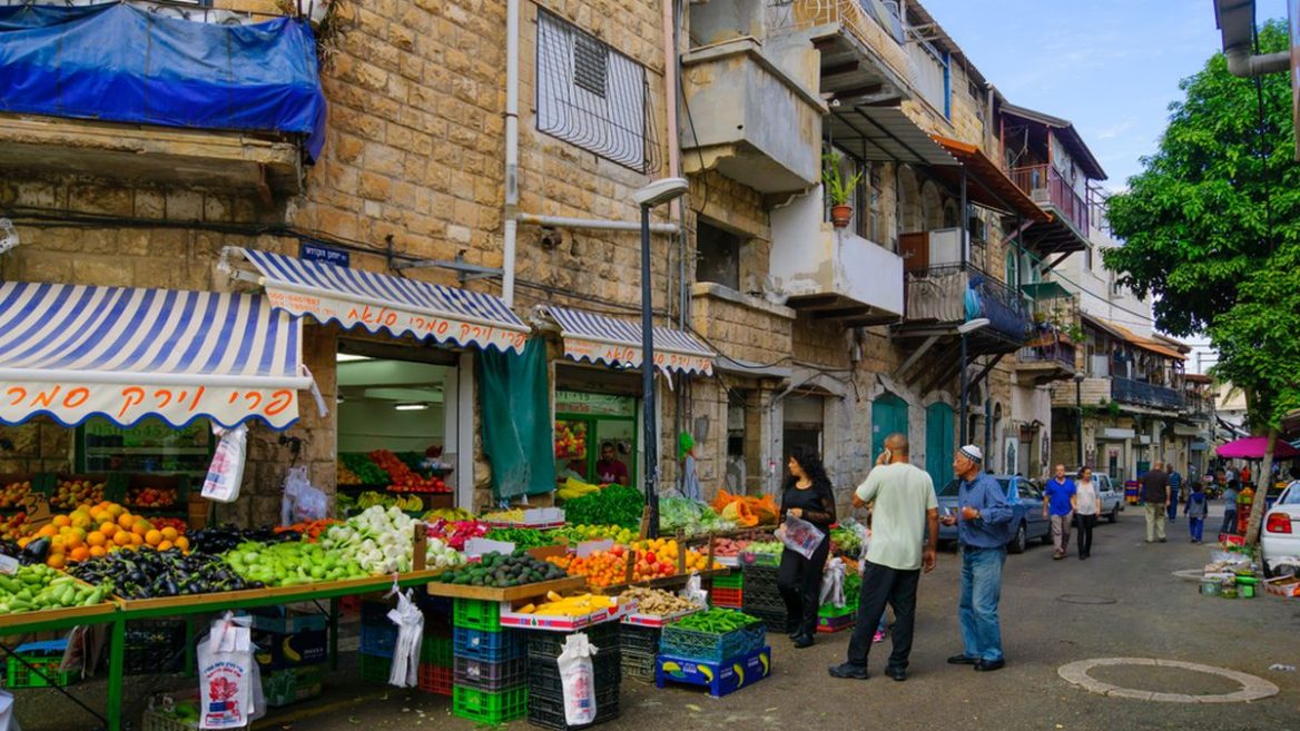
- The fruit and vegetable wholesale market (Shuk Situnai) (Map)
- Haifa Coast Police Station (Map)
- HaNagria Retirement Club (Map)
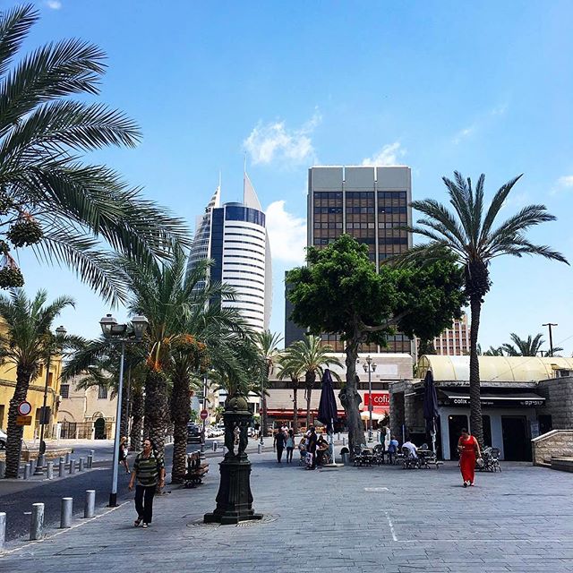
The Downtown-Central area, where the old city was previously situated, is now home to the Rabin Government Center (Kiryat Hamemshala), which houses most government ministries’ offices, Bituach Leumi (social security), the courts and more. This area currently houses around 1,300 people, over half of the residents are Arab.
This area also contains:
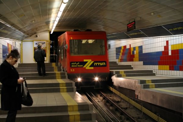
- The bottom station of the Carmelit – Haifa’s underground funicular train CURRENTLY UNDER RENOVATIONS UNTIL FURTHER NOTICE (Map)
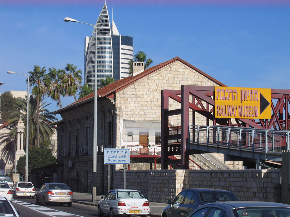
- Railway stations – Haifa Merkaz-Hashmona (Central) (Map) and the projected Beit Hameches station
- Chabad House (Map)
- Ulpan Etzion Carmel (Map)
- Carmel Academic College (Map)
- Taltan College for Design and Communication (Map)
- Namal Campus of the University of Haifa (Map)
- Danish Consulate (Map)
- WeWork Downtown Haifa (Map) COMING SOON!
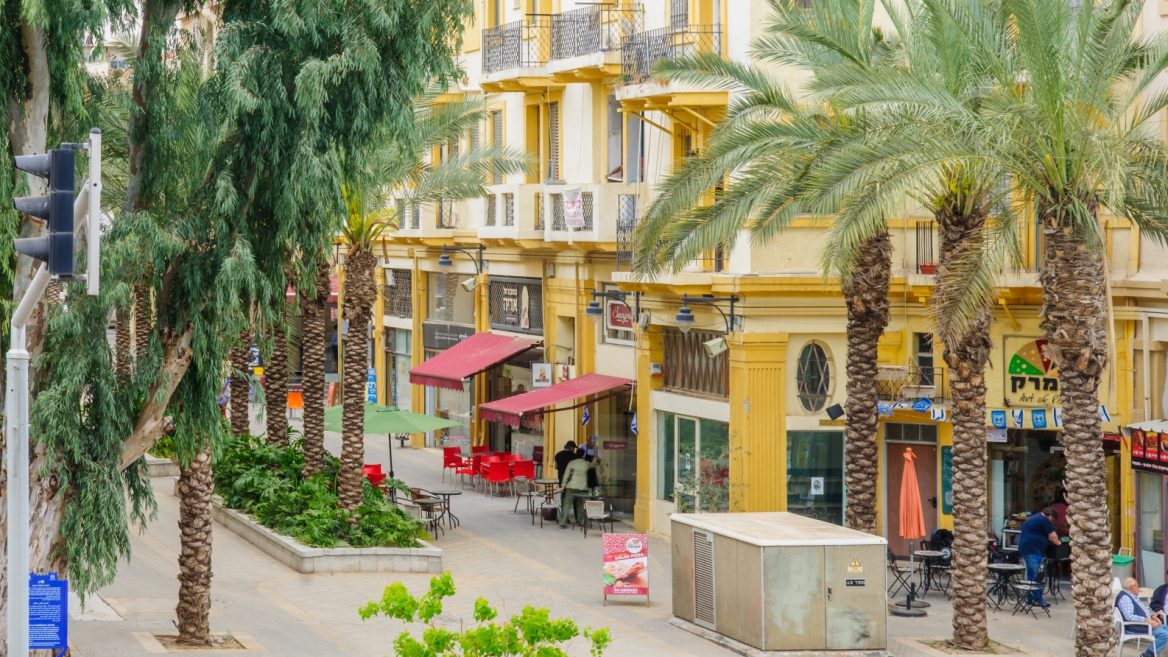
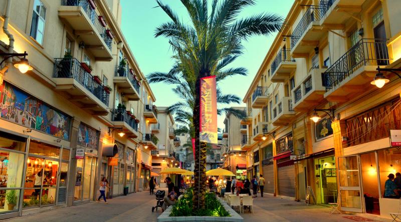
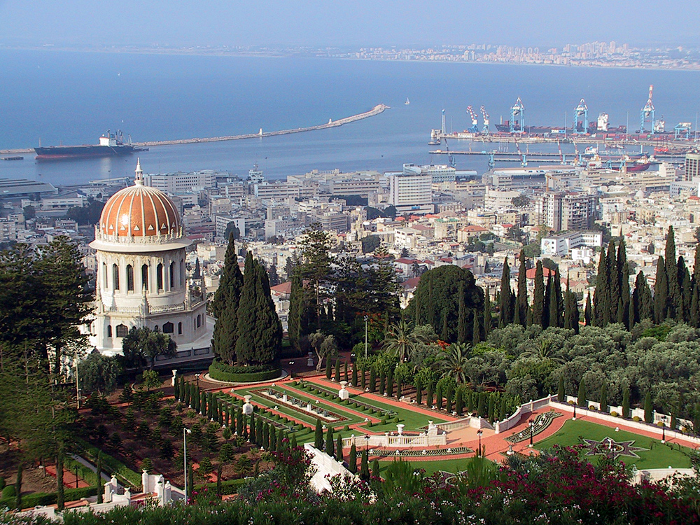
The Downtown-West area houses 9,000 people, mainly Arabs. The main areas in this part of town are the German Colony and Wadi Nisnas. The German Colony, established by the Templers in the 1870’s, influenced the development of Haifa to the east (Yaffo and Allenby Boulevards) and south to Wadi Nisnas. After the Templers left in the 1940’s, the area became dormant until the 90’s when it underwent major changes. On the sea side of Ben-Gurion Boulevard the City Mall was opened and on the mountain side of the boulevard the Ba’hai Gardens project, recently recognized as a UNESCO world heritage site, was completed. The gardens are beautifully coordinated with the boulevard so that they form a straight vista all the way up to the top of the mountain including the Ba’hai golden-domed shrine. This has created a unique tourist attraction and has totally transformed the German Colony. Many restaurants and cafes were opened along Ben-Gurion Boulevard and today it is considered a hub for leisure and night-life.
The following public facilities can be found in this area:
- Beit Hagefen Jewish-Arab Cultural Center including municipal library (Map)
- The History of Haifa Museum (Map)
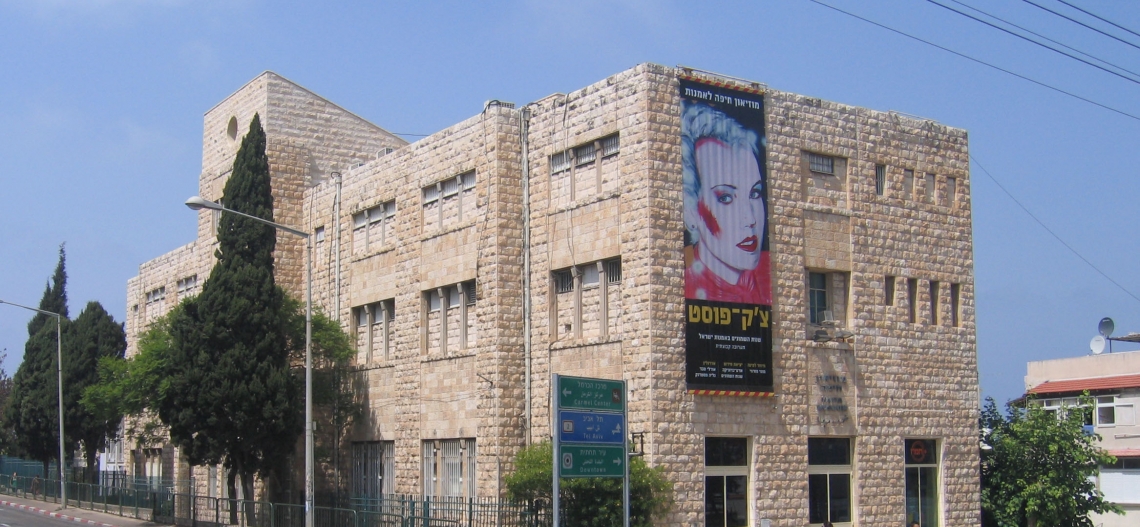
- The Haifa Art Museum (Map)
- Haifa City Archive (Map)
- Elementary, Junior High and High Schools and other facilities for Christian and Muslim residents
- Moria-Barkay Religious Elementary School (Map)
- Hod (Map) and Halev Hakodesh (Map) Special Education Elementary Schools
- Achva Elementary School (Map)
- Al-Haywar Elementary School (Map)
- Yochanan Hakodesh Elementary School (Map)
- Nezirot Hacarmelit (Map), Carmel (Map), and Mar Alias Episcopi Elementary Schools (Unofficially recognized)
- Italian High School (Unofficially recognized)
- Ort Carmel Technological High School (Map)
- WIZO college for design (Map)
- Rubin Music Conservatory (Map)
- Achva Community Center (Map)
- Retirement Homes (Even Haezer (Map), Windsor (Map), Beit Daniel (Map), and Nof Hagefen (Map))
- “Gil Hazahav” Rehabilitative Housing (Map)
- United States (Map), French (Map), Russian (Map), Spanish (Map) and Belgian (Map) Consulates
- Italian Hospital (Map)
- Hotels: Colony Hotel (Map), Templers Hotel (Map)
- Beit Koening Soldier House (Beit Hachayal) (Map)
- Fire Department (Map)
- Olim Housing (Map)
- Huri Employment Rehabilitation Center
- Single-Parent Center
- Senior Citizen Day Center
The Bay Area covers 20.51 sq. km. which constitutes 32.2% of Haifa’s area, and is home to 1,340 residents. This area is mainly commercial – including factories, workshops, wholesale and retail outlets and bus, train, sea and air terminals. The oil refineries, petrochemical industries and waste processing plant are situated in the eastern part of the bay in an area annexed to Haifa in the year 2005. This area, which is the northern and eastern gate to Haifa, has undergone change in the last few years and has been transformed from an industrial into a commercial zone. The municipality has been investing heavily to modernize the infrastructures and make the area more attractive. The bay area, which is divided into three zones, houses, among others, the following facilities:
The Chalutzei Hata’asia Zone:
- Oil refineries and petrochemical industries (Map)
- Oil storage tanks
- Chutzot Hamifratz Outlets (Map), Tzomet (junction) Qiryat Ata (Map) and Itstadion (stadium) shopping areas
- Misrad Harishui – the Ministry of Transportation licensing division (Map)
- Eilan Rehabilitation and Sports Center (Map)
- Beit Klaser Rehabilitative Housing (Map)
- Migdalay Or – Education and Rehabilitation Institute for the Blind (Map)
- Vocational Rehabilitation Center
The Lev Hamifratz Zone:
- Haifa Chemicals, Hazera and other major factories and Hof Shemen industrial zone
- Lev Hamifratz (Cinemall) (Map), City Mall Shopping Center (Map) and Check Post commercial and shopping centers (Big Check Post and Mega Center) (Map)
- Northern transportation depot (Merkazit Hamifratz) for buses, trains and future cable car to the Technion and University. (Map)
- Electrical power plant
- Regional fire brigade station (Map)
- Israel railways workshops
- The Railway Museum (Map)
- The Oil Industry Museum
- Tichon Haifa College (Map)
- College of Management (Map)
- Shin Yud L’Horim Retirement Home (Map)